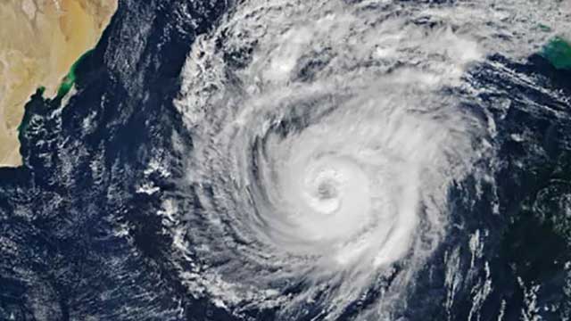
Very severe cyclonic storm Mocha is likely to trigger a tidal surge with a height of 1.5 to 2.0 metres, risking inundating low-lying areas of South East Bangladesh coasts and North Myanmar at the time of landfall, the Indian Met Department warned today.
The met office said Mocha is likely to slightly lose its strength before making landfall on May 14.
The IMD said while there is consensus among different cyclone forecast models that Mocha would make landfall along the south eastern coast of Bangladesh and northern coast of Myanmar between Cox's Bazar and Kyaukpyu, there is a divergence of opinion about the exact landfall time and intensity of the cyclonic system.
Mocha is now in the form of a deep depression over south east Bay of Bengal and is very likely to move north north-westward and intensify gradually into a cyclonic storm tomorrow. It will evolve into a very severe cyclonic storm by May 11 over south east and adjoining central Bay of Bengal, said the latest IMD update tracking the path and intensity of the weather system.
Mocha is likely to change its direction and move north north-eastward around May 12 and would weaken slightly on May 13 before crossing Bangladesh and Myanmar coasts between Cox's Bazar and Kyaukpyu (Myanmar) on May 14 with maximum sustained wind speed of 110-120 Km per hour gusting up to 130 km per hour, according to IMD.


